Categories > Guides and Tips
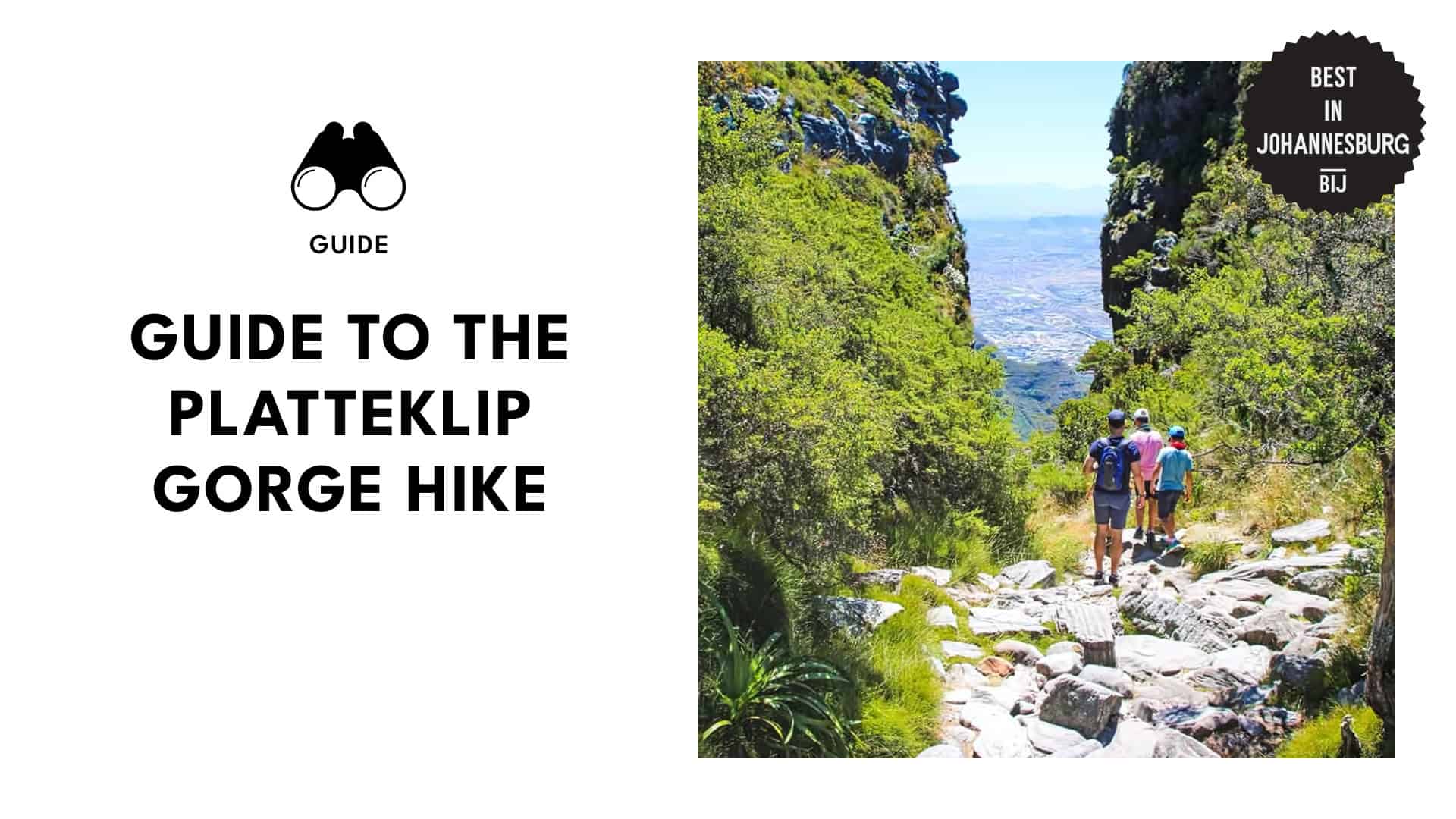
Level up your hiking game with this quick guide to the Platteklip Gorge Hike!
One summer, I stood at the base of Table Mountain, captivated by its stunning beauty and towering cliffs. Eager to explore its wonders up close, I chose the Platteklip Gorge Hike for the chance to take in the breathtaking views along the way.
I discovered there was much more to this trail than just reaching the top! For anyone planning to take it on, here’s what you need to know.
Things to Know
Starting Point: Tafelberg Road
End Point: Upper Cable Station
Distance: 2.8 km (one-way)
Elevation Gain: 2,339 ft
Duration: 2 to 3 hours
Terrain: Rocky
Difficulty: Average
How to Get to Platteklip Gorge
By Bus: To get to Platteklip Gorge, you can take MyCiTi bus routes 106 or 107 or the City Sightseeing Hop-On, Hop-Off bus, both of which stop at the Table Mountain Aerial Cableway. From there, it’s a 700m walk to the Platteklip Gorge trailhead.
By Taxi: Taxis can drop you off at the Table Mountain Aerial Cableway Station. Fares start at R20, with an additional charge of R10 per kilometre.
By Car: Parking is available along Tafelberg Road, between the Lower Cableway Station and Platteklip Gorge starting point.
Best Time to Hike Platteklip Gorge
The best time to hike Platteklip Gorge is early in the morning, especially during the summer months when direct sunlight makes the trail quite warm. Most hikers around 6:30 AM to 7:30 AM, ensuring they complete the hike in under three hours before the heat peaks.
The dry season from October to April is ideal for hiking, while winter hikers should check the weather to avoid slippery conditions. If you plan to take the cable car down, it’s wise to verify its operation, as it may be suspended due to strong winds.
What are the points of interest on the Platteklip Gorge Hike?
Tafelberg Road
Media from mycapetourism
At the start of the trail on Tafelberg Road, the ascent begins gradually, offering views of Devil’s Peak and the lower city area. The first section is relatively easy, with a clear footpath to follow.
Steep Rocky Path
Media from fats_on_a_mountain
As you climb further, the path becomes steeper, with rocky steps guiding the way. The terrain becomes tougher, and the cityscape comes into clearer view.
City Bowl and Waterfront
Media from umalentsoe_adventurous
As you ascend, you’ll catch stunning views of Cape Town’s City Bowl, V&A Waterfront, and Lion’s Head. On clear days, you can also see Robben Island and Blouberg Beach.
Narrow Ravine
Media from rebeccakohne
Approaching the top of Platteklip Gorge, the path narrows into a steep ravine. The ascent becomes more challenging, but you’re close to reaching the top.
Table Mountain Summit
Media from alexpiaramcg
The steep climb ends here where you reach the plateau of Table Mountain. From this point, you’ll have incredible views of the surrounding landscape, including Lion’s Head and Signal Hill.
Upper Cableway Station
Media from tablemountainca
After a short, flat walk from the top of the gorge, the Upper Cableway Station awaits. Here, you can choose to take the cable car down.
Maclear’s Beacon (Optional Extension)
Media from kyla.vdb
For those looking to continue exploring Table Mountain, Maclear’s Beacon is a 2 km hike from the cableway station. It’s the highest point on Table Mountain, offering even more impressive views.
Platteklip Gorge vs Other Table Mountain Trails
Media from brendon_wainwright
Platteklip Gorge is a great option for those looking for an easier, more straightforward hike up Table Mountain. Its well-maintained path makes it accessible for many hikers, and the direct route to the summit allows for a quicker ascent.
However, I found the other routes like Kasteelspoort, India Venster, and Skeleton Gorge more challenging and rewarding. These paths tend to be less crowded and offer a variety of stunning views and landscapes.
Where to Eat & Drink in Platteklip Gorge
Black Box Coffeeworks
Media from blackboxcoffee_ct
Website: https://www.blackboxcoffeeworks.co.za/
Phone: +27 78 663 0059
Operating Hours:
- Monday to Friday – 7:30 AM to 3 PM
- Saturday & Sunday – 8 AM to 4 PM
Black Box Coffeeworks is a great spot to kick off your hike. I recommend trying their rich hot chocolate paired with a cranberry granola cookie for a delightful treat to enjoy on the trail.
TEN67 Eatery
Media from tablemountainca
Operating Hours: Opens 9 AM and closes 30 minutes before the last car down
After finishing the hike, TEN67 Eatery is a delightful place to refuel with a selection of delicious meals and snacks. I loved exploring their menu, which features South African-inspired dishes, fresh salads, pastries, and an extensive beverage selection.
They also sell gourmet deli items, including savoury baguettes, bagels, wraps, and sandwiches that are great for taking home.
KLOUD Bar
Media from tablemountainca
Just below the TEN67 Eatery, KLOUD Bar is another great spot to unwind after a hike, featuring everything from beer and wine to liqueurs and spirits. I especially enjoyed sipping on an Aperol for its refreshing blend of sweet and bitter notes.
With seasonal specials regularly introduced, there’s always something new to look forward to.
VIEWS by De Grendel
Media from tablemountainca
For something a bit fancy, VIEWS by De Grendel offers a stylish setting, featuring a variety of menu options alongside their exquisite De Grendel wine. The space is also equipped with charging stations and free Wi-Fi.
Where to Shop in Platteklip Gorge
Shop at the Top
Media from tablemountainca
Operating Hours:
- Monday to Friday – 9 AM to 5:30 PM
- Saturday – 9 AM to 4 PM
- Sunday – 10 AM to 2 PM
The Shop at the Top is the ideal place to find a unique memento, offering a range of items like t-shirts, jackets, and adorable dassie toys. The friendly staff are on hand to help you find the perfect keepsake from your visit.
Safety Tips for Hiking Platteklip Gorge
- Don’t hike alone.
- Avoid hiking late in the evening.
- Hike during weekends and public holidays. More people on the mountain can enhance safety.
- Stay on the marked trail. Respect trail signs to avoid getting lost or straying into dangerous areas.
- Ensure your phone is charged to call for help in case of emergencies.
- Carry sufficient water. Hydration is crucial, especially since there are no water sources on the trail.
- Be prepared for changing weather.
- Wear proper hiking shoes. Avoid sandals or flip-flops, as they are unsuitable for rocky terrain.
- Watch your footing. The trail can be slippery, especially after rain, so take extra caution on steep steps.
What to Pack for the Hike
- Water
- Snacks
- Sun protection (sunscreen, sunglasses, and hat)
- Clothing layers
- Hiking shoes
- Mobile phone
- First aid kit
- Backpack
- Map or guide
- Camera
